The National Road in Illinois |
||||
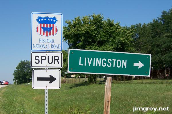
LivingstonAbout four miles inside Illinois we found Livingston. It looked more like a sparse collection of houses than a town. But not only did the state mark it, they identified it as being part of the National Road.
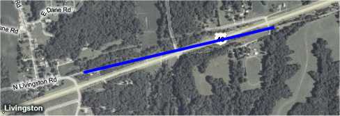
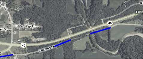
Dawn and I both praise Illinois for marking the National Road so well. We never had to guess which way the road went. We wish Indiana did as good a job marking the road. The National Road "Spur" sign at Livingston suggested that perhaps there had been two routings. The map showed lots of road remnants that could have been two alignments of the National Road near Livingston. Visible remnants of the road suggested that it could have crossed US 40 just east of Livingston. This map shows that possible route with a blue line where the road along that suspected path is no longer visible. Notice the road just to the north of the blue line, which fades to just a trace through the woods. It perfectly parallels this suspected National Road alignment.
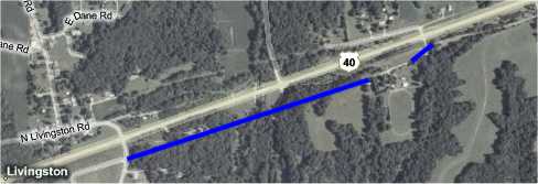
But there was also a viable route that stayed south of US 40, as this map shows with blue lines showing the route's suspected path.
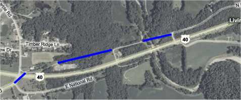
West of Livingston, there were similar possible routes to the north and south of US 40. Here's what I imagine the north route could have been, with blue lines filling in road that appears no longer to be there.
This map shows the possible route to the south of US 40, with the "missing" road segments in blue.
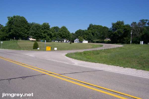
We decided to explore the northerly spur. We turned right and rounded the curve.
At the top of the curve, we found familiar brick pavement coming in from the east, as this westbound photo shows.
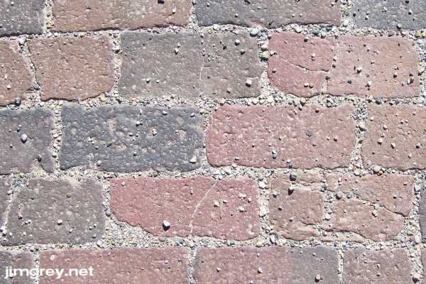
We noticed that the brick, previously all one color, had become tri-colored. Mortar now filled the spaces between bricks.
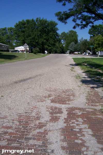
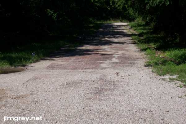
We drove past the generally well-kept homes along this old road. Long after the homes petered out, replaced by dense green woods, the asphalt road curved to the south and brick pavement continued west, as this photo shows.
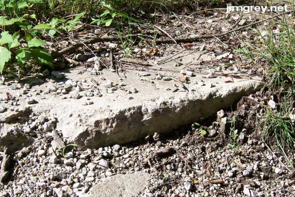
I walked to the end of this segment, which is visible in the photo. A bridge had clearly once been there, but I wasn't sure what it spanned as there was no creek or river. A gravel road to the right side of the road led to a closed gate to someone's home. The end of the road was overgrown and torn up, revealing the edges of the cement strip on the north side of the road.
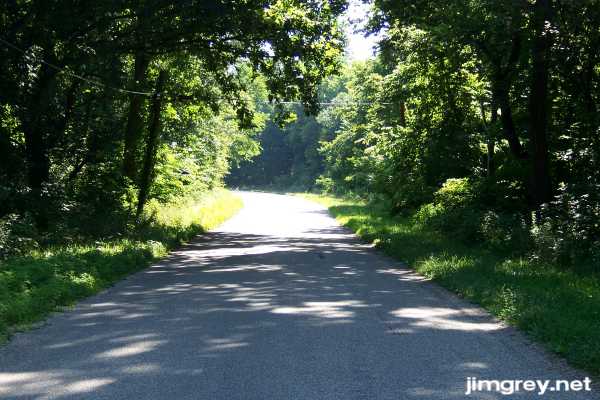
We turned south for the short trip through the woods to US 40.
As we left Livingston, we saw more brick along that short segment of road just west of Livingston and south of US 40. We couldn't see the parallel section to the north. We had seen so much brick road by now that it was becoming sort of commonplace. We both marveled at it. An hour earlier, we would have excitedly turned north to see whether the parallel road was brick. But the novelty had started to wear off and we drove on to Marshall instead. At least this sighting confirmed for us that a brick road ran south of US 40, and another ran north of US 40, making them both likely alignments of the National Road. |
||||
|
||||
|
Created 22 July 2007. |
||||