The National Road in Illinois |
|
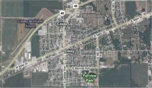
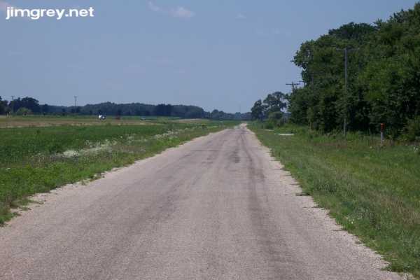
CaseySo far, when we left a town on the National Road, it soon curved to meet US 40. That was not the case as we left Martinsville; Cumberland Road headed straight for Casey (pronounced KAY-zee). US 40 paralleled it to the north, but far enough away that we couldn't see it.
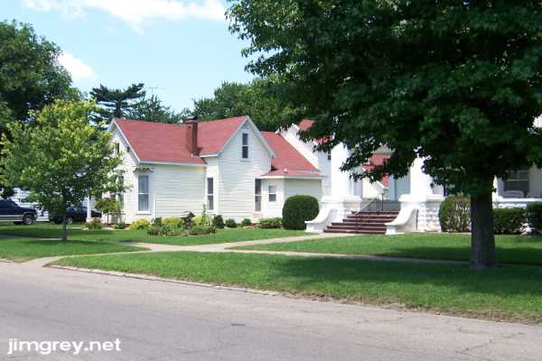
WCBH, a radio station licensed to Casey, has such a powerful stick (that's transmitter and tower in radio lingo) that it can be heard most of the way to Greencastle, Indiana, which is 70 miles east. When I was a sophomore in college, about 35 miles away in Terre Haute, they changed their format to something they called Classic Hits. They were about 20 years ahead of their time – they were a lot like the Jack FM stations that grew like a cancer across the US and Canada over the past couple years, except without the snide dude who did all the talking, and with a much better playlist. I'm lukewarm about Jack, but I loved WCBH. I listened to it a lot – secretly, because as general manager of my college's radio station I felt honor bound to listen to our station. The format lasted for five years or so until the station had money troubles. A few years later, I got a call from a former radio boss who got the boss gig at the Casey station, changed its format to top 40, and wanted me to come work for him. I said, "You want me to drive where to work for you just on the weekends?" Now I know where. I once worked with a woman who grew up in Casey. She was glad to leave the old town behind, she said, calling it dumpy and backward. But as we entered town, you could not have convinced me my old colleague was right. As we passed down Main Street, we could just make out the homes from behind the thick line of trees along the street. With only a couple exceptions, these homes, which looked like they were built in the first half of the 20th century, looked like new. Common frame homes stood next to large, grand homes in deep red brick with white trim, creating contrast. I pulled over and we walked along the street taking pictures. The trees were so lush that they blocked most good photo angles.
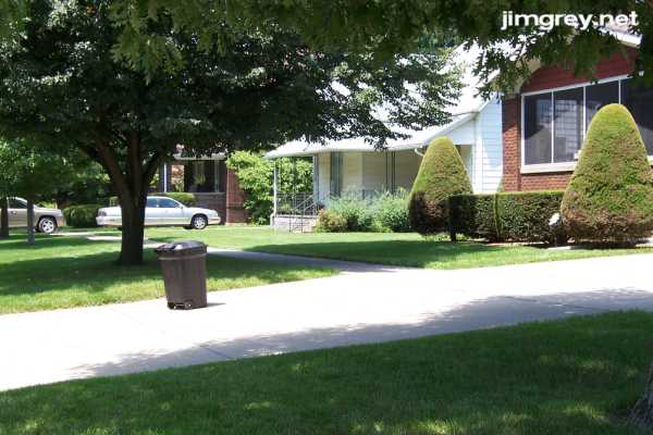
I don't know why I didn't walk to the other side of the yellow house to take this photo, because the white house was imposing with its large, stone front porch, and I wish I had more of it in the image.
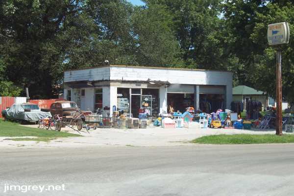
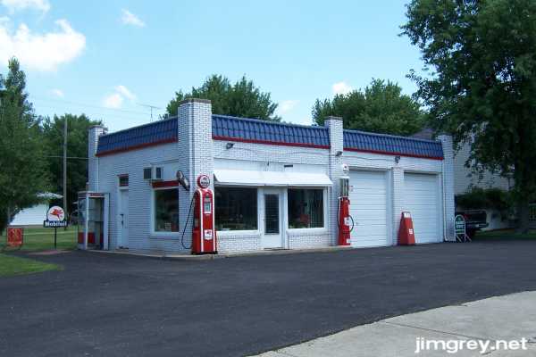
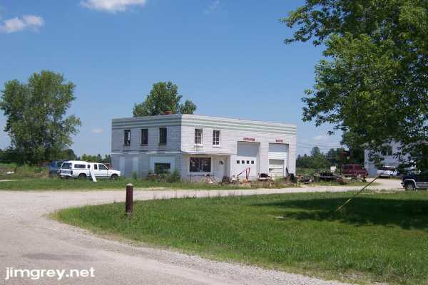
One uncharacteristically dumpy former filling station was host to a large garage sale that day. It made me think of the old Paul McCartney song: "'Buy, buy!' says the sign in the shop window / 'Why, why?' says the junk in the yard." Bonus points to anyone who can identify the rusty old car.
Another former filling station seemed to be a museum of former filling station equipment and signs.
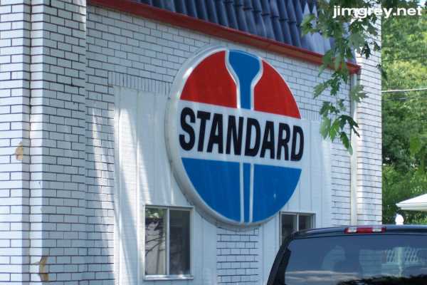
Love the old Standard sign, an icon of my childhood not adequately replaced by the Amoco and now BP signs that have followed. Hate that the original windows on the building were replaced with those things that wouldn't look out of place on a mobile home.
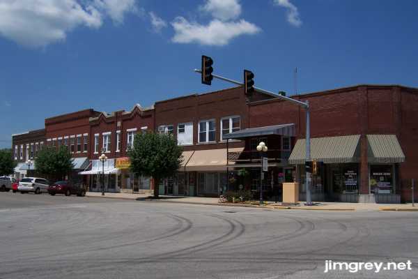
Downtown Casey was tidy enough, but not as fresh and bright as downtown Marshall. Downtown began at State Route 49. This photo is the the north side of the first block west of State Route 49.
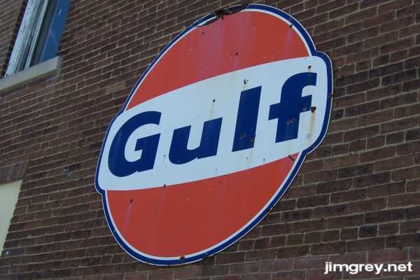
A building on the southwest corner of this intersection had a few old metal signs attached to it. I liked this Gulf logo as a kid, I think because of the typeface used for "Gulf" has a fat stroke and a low centerline, and it is juxtaposed with letter spacing that brings out the weight of the individual letters. It still works for me; I can look at it for an hour, just studying the letterforms.
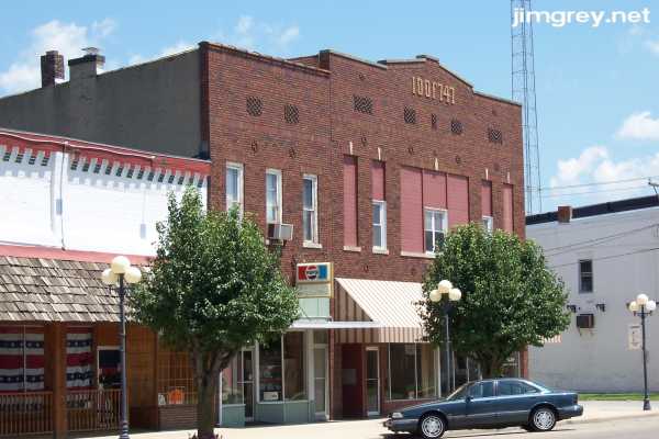
I photographed the Odd Fellows building not just because "IOOF747" was bricked into the building, leaving a lasting reminder of the Independent Order of Odd Fellows, but because it's a crying shame that someone replaced the second-story windows with those out-of-place tiny modern sashes.
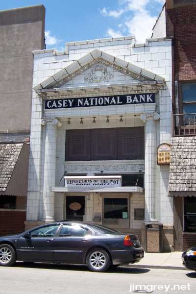
The Casey National Bank building was actually in the first block of State Route 49 south of Main Street, but I was taken by how this building seemed crammed into its place, mighty enough to push aside the buildings on either side of it. Check out the burglar alarm about halfway up the building on its right side.
Hunger was beginning to cloud our judgment, so we decided to head the rest of the way through town in hopes of finding a local tavern or lunch counter. No such luck. We soon came upon where Main Street intersected with US 40.
This unusual intersection allowed US 40 to pass south of the National Road. We turned off Main Street before reaching US 40 to follow the short segment of National Road there, and took this photograph eastbound across US 40 to the National Road on the other side. Notice the National Road sign pointing the way.
On the other side of US 40, the National Road was maintained (though covered in tar and gravel or something else not quite asphalt) and drivable for maybe a quarter mile.
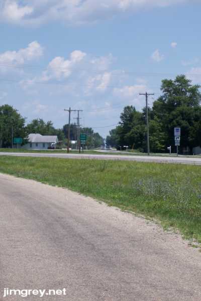
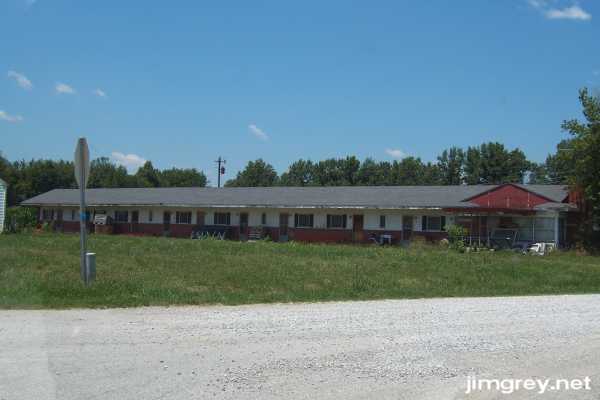
Beyond the first crossroads it petered out and seemed to end. We took this as our cue to find food, which we found at the I-70 intersection north of Casey. Bellies reasonably happy, we rejoined US 40 at this spot. As we drove along, we saw that the old road did continue, but was not reachable. It disappeared beyond 2350E. The utility poles did, too, which we found curious. There was another short segment at 2275E, and then suddenly we saw another segment on the south side of the road. Apparently, US 40 was built over the old road here. We stopped to take photos of an abandoned motel at 2000E. We were a good bit away from Casey by now, and we wondered how a motel out in the sticks could prosper. Then it hit us: It didn't.
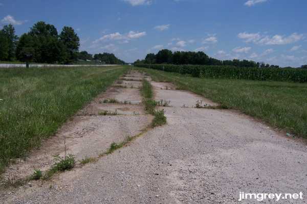
At 1975E we found another short cement alignment. Here it is eastbound.
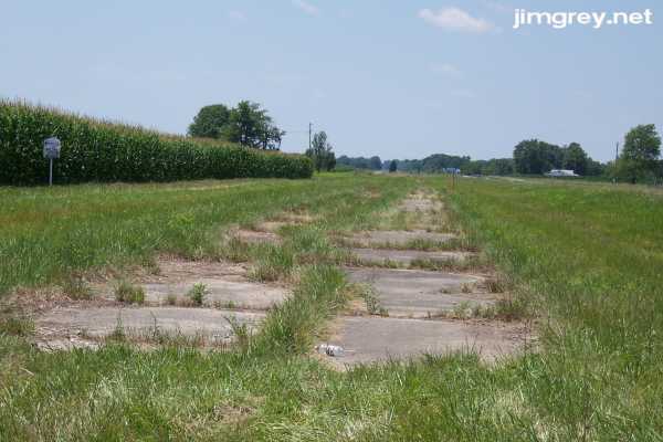
And here it is westbound, heavily overgrown.
Finally, at 1950E we found this former truck garage or truck stop. Again, we were puzzled by this business's placement so far from town.
And then the cement National Road disappeared. We would see it only once more, briefly, on this trip. |
|
|
Created 22 July 2007. |
|