The National Road in Illinois |
||||
VandaliaThe 15 miles from St. Elmo to Vandalia were the most uneventful of the trip. We found not a single old alignment, old motel, or burned-down restaurant to stop and look at. East of town, US 51 enters from the south and multiplexes with US 40 through town. The intersection of US 40 and US 51 appears to have been beefed up at some point, because remnants of an old intersection remain. US 40 and the National Road enter town and, at Third Street, US 40 turns north, and the National Road ends. An old alignment of US 40 continues west as Illinois State Road 140.
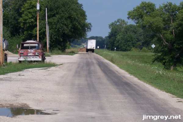
In this photo, I'm standing on the east end of old US 40, noticing how the end of the road is in line with the current road beyond the curve.
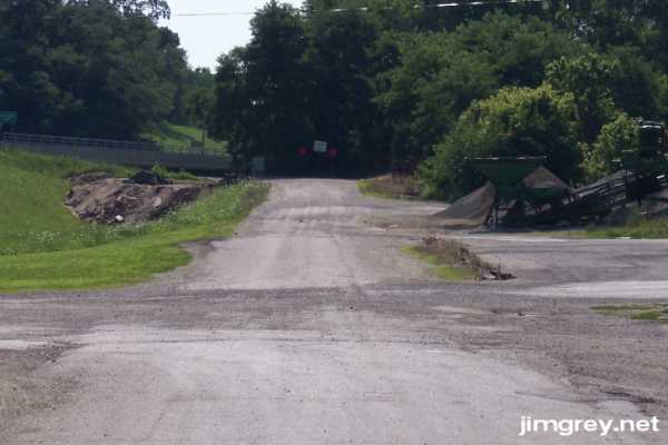
This photo is of the east end of this segment. If the trees weren't there, you could see how this end, too, flows right into current US 40. I felt sure the bridge at that end was removed, even though I didn't go look. We were getting tired and hungry as our trip was coming to an end, and we just wanted to get to the end of the road, just beyond the statehouse in Vandalia.
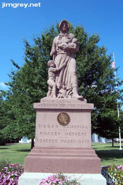
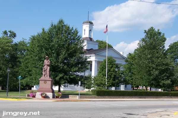
In no time, there we were. The Madonna of the Trail greeted us, looking ever westward as she anchored the end of the National Road.
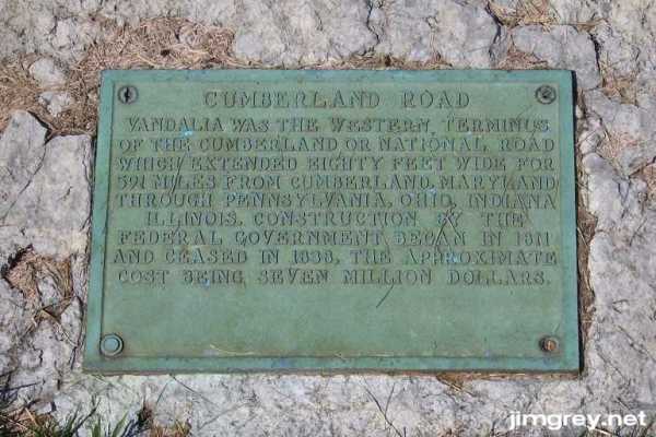
This Madonna of the Trail had been given to the city in 1928 and restored in 1990, according to a plaque behind her. Another plaque behind her commemorated the National Road. It said that the road was 80 feet wide. That must mean the right-of-way; the sections we saw east of Greenup weren't ten feet wide!
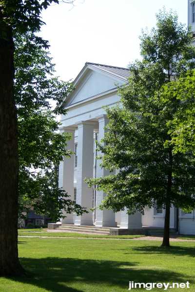
Behind the Madonna was the old Illinois statehouse, looking much like it did in 1950 when George Stewart photographed it for his US 40 book. Thomas and Geraldine Vale wrote in their 1983 book, in which they visited and photographed all the places in Stewart's book, that the low cement wall and hedge would be removed for historical accuracy, but it apparently never happened.
We explored Vandalia a bit after photographing the statehouse, but our trip ended here. We had seen the last segment of the National Road.
|
||||
|
||||
|
Created 22 July 2007. |
||||