The National Road in Western Indiana, Revisited |
||||
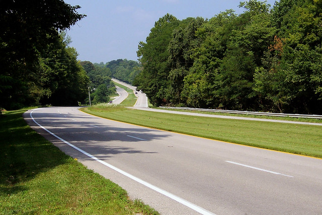
Many years ago, after I picked up my first new car from the body shop after yet another fender bender, someone asked me a philosophical question: How many parts must you replace on a car before it’s no longer the same car? I’ve been wondering something similar about the National Road. Since it was built in the 1820s and 1830s, it has been straightened, leveled, widened, and outright moved many times. So how many times must a road’s path change before it’s no longer the same road? After driving US 40 from Indianapolis to Terre Haute in August of 2009, I’ve concluded that it both is, and is not, the National Road. It is the National Road in the sense that its original corridor is represented almost entirely by US 40 today. Except for a few brief old alignments, US 40 passes through the same towns and countryside that the National Road did. It is not the National Road in the sense that those who built it across the state could never have imagined the high-speed four-lane expressway it has become. The original road was just a path through the wilderness. As I drove, I stopped to photograph every place I know where the road’s path has been altered over the years. I also photographed the towns along the way. I blogged about many of these places already (here is an index to everything I've ever blogged about the National Road), but will expand on it all greatly here. You can follow along on the whole trip by using the navigation links at the bottom of the page. Click Next to begin, or click the link for the county that interests you.
|
||||
|
||||
|
Created 1 January 2010 |
||||