Old US 31 in Northern Indiana |
||||
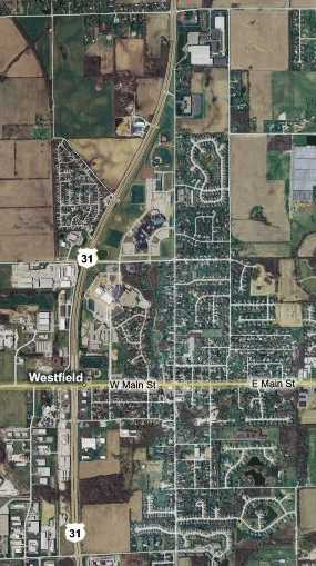
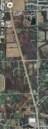
Westfield and CarmelUS 31 followed its original path for the next 26 miles to Westfield, which it then bypassed. When you look at Westfield on a map it looks small, its downtown just a short strip along State Road 32, with some cul-de-sac neighborhoods extending north and south from there. But Westfield is a sparse, sprawling suburb of about eight square miles, a place to have a home while you work elsewhere. Still, it adopted a city-style government the first of 2008 and is now officially considered a city in Indiana. But without nearby Indianapolis, it would only be a little town in the country. Because of its growth, US 31 bypasses only downtown Westfield; the city swallowed the bypass some time ago. This map shows the northern two-thirds of the route.
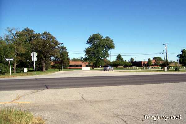
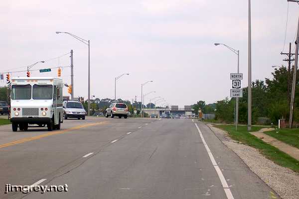
Here's where we turned onto old US 31. There is a long stub of old US 31 between the top of this curve and current US 31, too.
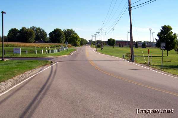
This photo shows old US 31 southbound as it heads toward Westfield.
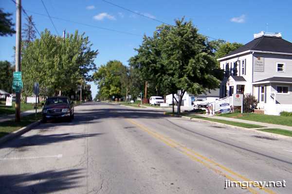
The old town of Westfield is a nicely-kept typical Indiana town. This northbound photo is of old US 31 a block or so before Main St.
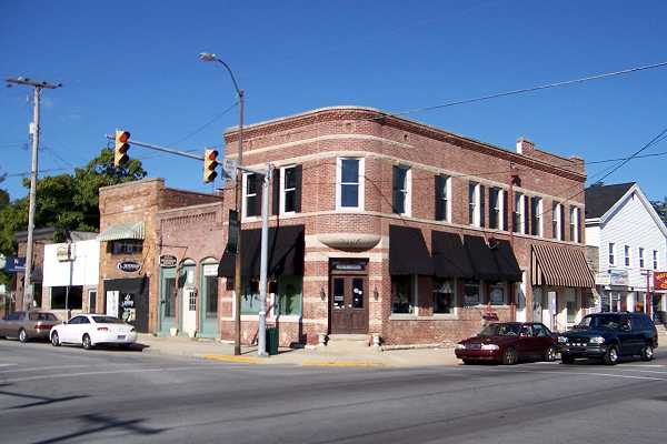
This bank building is on the northeast corner of downtown Westfield. It's an antique shop, and as far as I could tell the most prominent business on this corner.
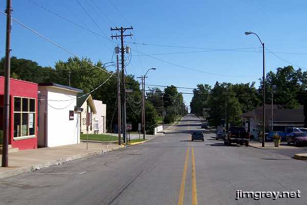
Here's the southbound road leaving downtown.
This map shows how US 31 curves back to the road's original path.
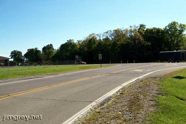
Here's where old US 31 curves to end at current US 31. There was no stub of old US 31 past this curve; I wonder why the road was removed.
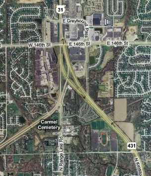
Not that long ago, Westfield and Carmel were separated by a couple miles of Hamilton County. Today, Westfield ends, and Carmel begins, at 146th St., where US 31 swings west, State Road 431 begins and swings east, and Rangeline Road goes straight south, perfectly in the direction of US 31 before this intersection. I vaguely remember being able to turn on and off 146th St here years ago, but the last time they rebuilt this intersection they made 146th St. an overpass. You can get to it from US 31 using Greyhound Pass. This map shows how it works.
As Indiana plans to significantly upgrade US 31 in northern Indiana, the buzz is that twin roundabouts may be installed underneath key intersections, such as this one, through Westfield and Carmel. Through US 31 traffic would never have to slow down, but exiting and entering traffic as well as through cross-street traffic would use roundabouts built below US 31. My 1916 and 1924 Automobile Blue Books send drivers through Carmel and then Nora and Broad Ripple on their way to Indianapolis. But neither Nora nor Broad Ripple, formerly towns but now just Indianapolis neighborhoods, have ever been on US 31. Range Line Rd., which is called Westfield Blvd. in Indianapolis, passes through both. So the road in the middle was the way to Indianapolis in the auto trails days. US 31 did not swing right, and State Road 431 did not swing left. This was nothing more than a simple crossroads. I've seen maps from the 1930s and 1940s that label Range Line Rd. as State Road 431, so it appears that this road has been passed over as a major route more than once. This photo is from Range Line Road northbound. The 146th St. overpass shows US 31 underneath it, dead ahead of where I stood to take this photo. US 31 traffic wanting to go south on Range Line Road turn at the light.
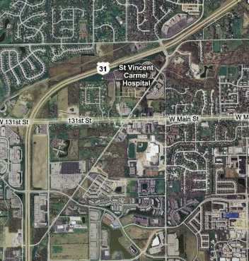
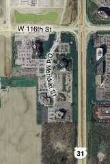
Shortly past the split, the map showed a road labeled Old Meridian St. inside the current US 31 curve. It has two sections. The first is the narrow stub alongside in in the upper-right corner of the map. The second begins at the next east-west street, which is 136th St. It runs southwest past the hospital and then ends at US 31.
We assumed that Old Meridian St. had been US 31, or maybe State Road 1, at some time, and so we stopped for photos. This northbound photo is of the narrow stub in the upper right corner of the map. This narrow road hasn't been highway for a very long time.
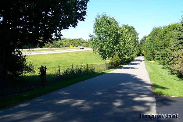
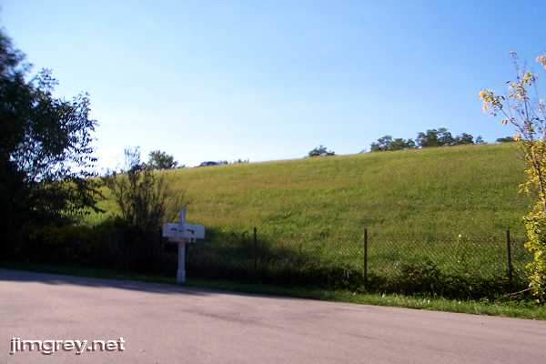
Showing that old roads followed the terrain, here's a shot of the hill between Old Meridian St. and built-up US 31.
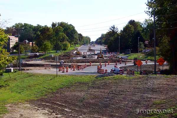
If Brian and I had been able to coordinate schedules better, we would have made this trip a lot earlier and missed all the construction on Old Meridian St. that made it impossible for us to travel most of it. More importantly, we would have had a record of this road as two lanes. By the time we could take this trip, the road was being widened to four lanes and roundabouts were being installed at three of its intersections. This photo shows the roundabout under construction near St. Vincent Hospital.
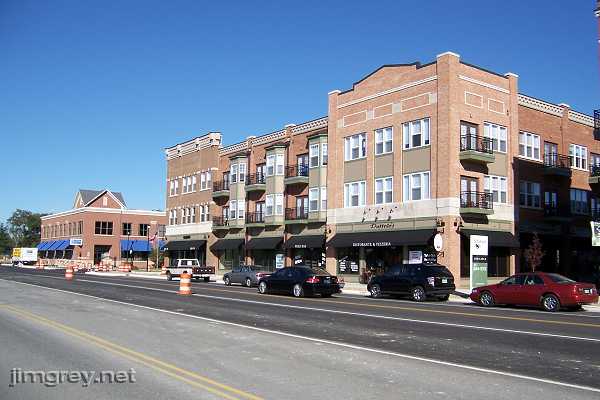
We followed US 31 to 126th St., where we drove back toward Old Meridian St. Upscale shops and restaurants are being built with high-end condos above. The lighter gray pavement is the original Old Meridian St., still striped for two-way traffic.
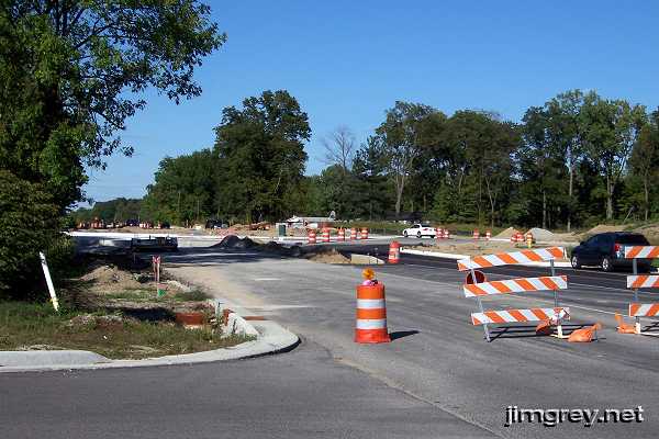
Another roundabout was being built at Pennsylvania Ave. All this construction is finished as I write this.
Our map labeled a short road at 116th St. as Old Meridian St. We went to look, but it was part of a parking lot. We wondered if an older iteration of this road had not been such a straight shot, and this was where the old road had gone before the parking lot was paved. Brian, who had caught the old-alignment bug in a bad way, searched around the woods south of the parking lot for signs of the old road, but found nothing.
|
||||
|
||||
|
Created 13 January 2008. |
||||