US 36 in Western Indiana |
|||||||
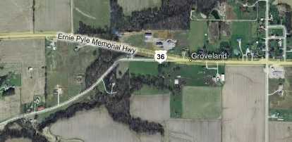
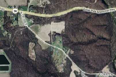
Big Walnut Creek segmentShortly after crossing the Hendricks-Putnam County line is tiny Groveland, with a gas station, a couple houses, and a few decrepit buildings. Immediately west of Groveland, US 36 curves to the north a bit, and a narrow road splits from it following the straight path, as this map shows.
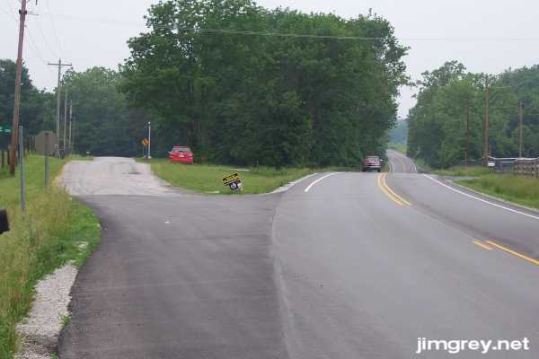
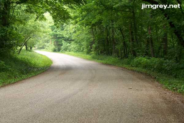
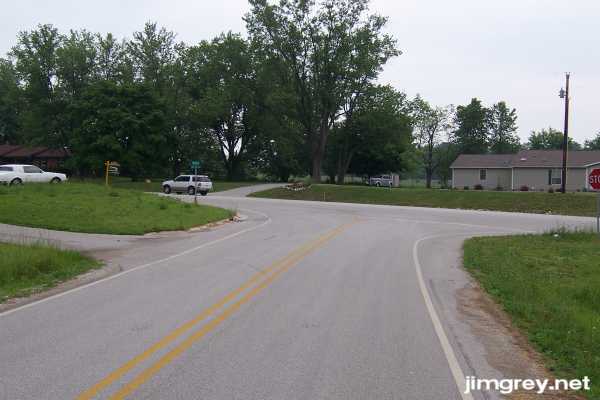
Here's what it looks like as you approach from the east:
I'm fairly certain that this split is US 36's original alignment. I also suspect that the old Pike's Peak Ocean-to-Ocean Highway took some or all of this route based on that road's shape just west of Groveland on this 1915 map. The terrain through here has some challenging spots, and this alignment's winding path is typical of the days when roads were built around challenging terrain, rather than through it. Also, the utility poles follow this old road. Finally, my 1927 highway map shows what looks like this alignment as it dips south, while my 1956 highway map shows what looks like the current straight alignment. (The broken line in the 1927 map means that the road was gravel then!)
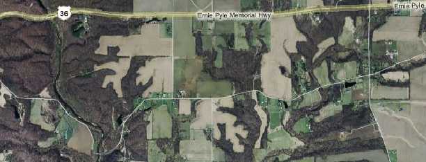
The thin line across the middle and bottom of this map shows the middle of this long segment's path.
The road was narrow and shoulderless, with gentle curves and moderate hills. It alternated between wooded...
...and farmland as it passed through the countryside.
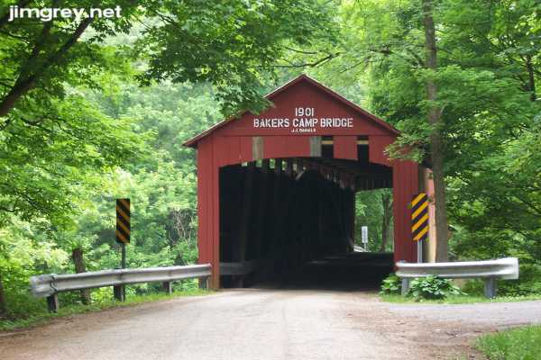
Soon I came upon a covered bridge over Big Walnut Creek. J. J. Daniels built a lot of covered bridges in Putnam and Parke Counties. This is a Burr arch truss bridge – if you squint a little at the photo below, you can see the arch bracing the trusses along the bridge's inside wall.
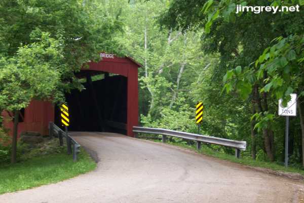
Here's the bridge from the west, which I share just because I really like how this photo turned out.
Shortly past the bridge, this segment ends, as this map shows.
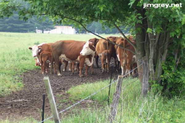
I came across a big, old, smoke-belching RV blocking the road along here. Some fellows were standing on it, cutting branches out of a tree in their front yard. I only sat there for a minute before they moved the RV back far enough for me to drive around, but the smell of that smoke stayed in my nose the rest of this segment. I was surprised that this segment ended at almost a T with US 36, as the photo below shows. I expected to see evidence of some sort of flow into the current US 36 roadbed. I don't know where the utility poles disappeared along the route, but as you can see they're not present along the end of this segment.
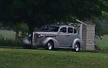
In the driveway of the house across the road was a grand old automobile. It looks to be from the late 1930s. I couldn't tell what kind it was; if you know, send me an e-mail using the link at the bottom of this page!
|
|||||||
|
|||||||
|
Created 27 June 2007. Updated 26 August 2007. |
|||||||