Extra: PP-OO over the Indiana-Illinois border |
||||
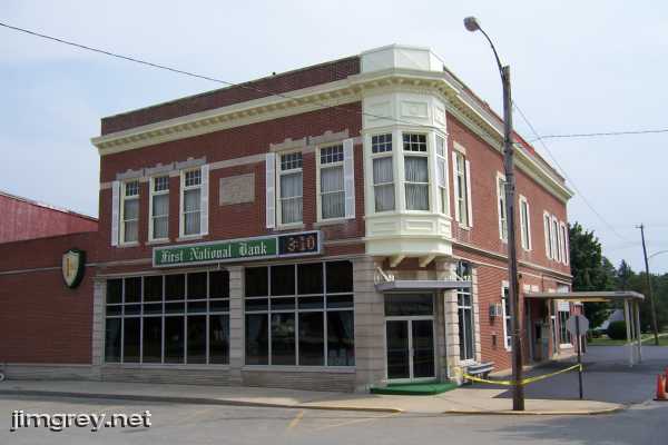
This wasn't my first visit to Chrisman. My stepson's dad's family all live here – their name is apparently pretty big in this farm community – and I came out here a couple times years ago to pick up my stepson from his grandmother's. But I had never seen the town. The PP-OO enters town on 2300 N, which in town is Monroe St. and borders the town square to the south. The First National Bank anchors the square's southwest corner. You can't see it in the photo, but above the awning over the door the word "BANK" is embossed into the stone. How many old banks' doors faced the corner?
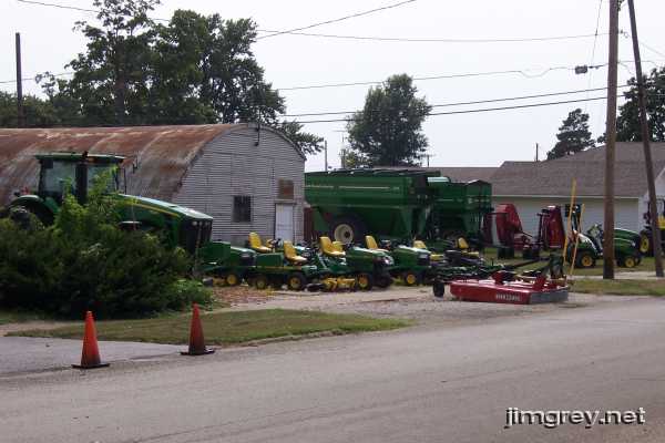
Just west of the bank was a John Deere dealership. You know you're in a farm town when you can buy a Deere downtown.
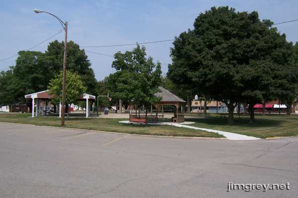
I was surprised to see not a courthouse on the town square, but a nice park.
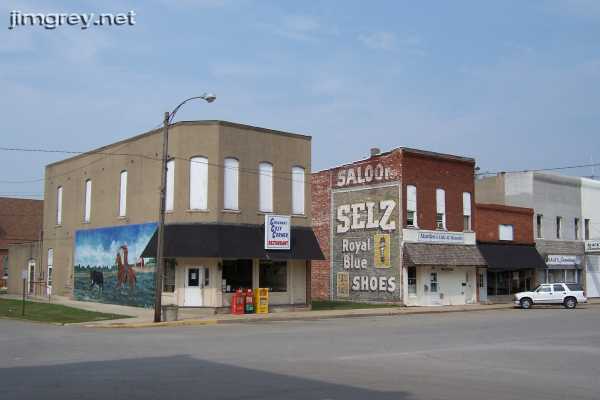
On the northwest corner were a couple restaurants, one of which has an old painted advertisement in nice condition.
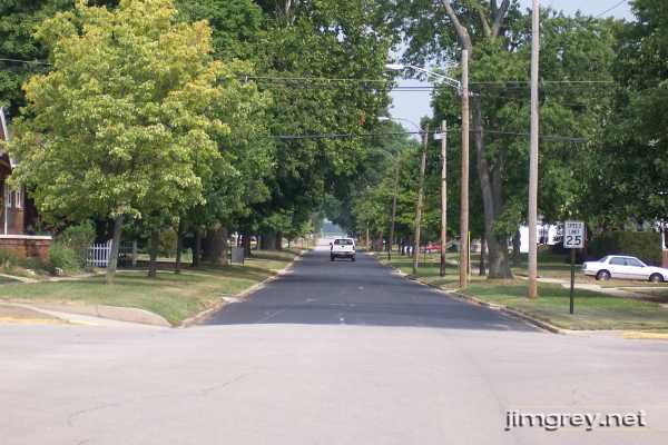
I enjoyed my brief visit to downtown Chrisman, but I was here to drive the PP-OO. Standing in the square's southeast corner, I looked east down Monroe St., which would become the PP-OO at SR 1.
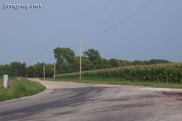
Heading out of town, 2300 N was asphalt. But where the road curved to the north, the surface changed to some sort of chip and seal, the kind that kicks pebbles into your car's undercarriage and makes your car feel a little floaty.
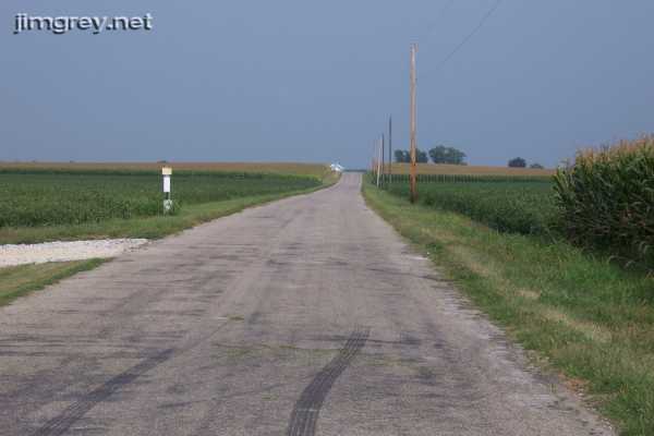
I took this photograph a short distance away, at 1725 E. It was quiet out here. As I considered how remote this area is today, I wondered how PP-OO travelers found it. This road was probably dirt in 1915. If it rained and you got stuck in the mud, the walk to a farmhouse to ask for help sure would be unpleasant.
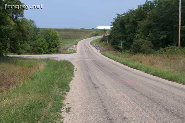
When I reached Indiana, the chip and seal turned into asphalt, and my car felt more planted on the road again.
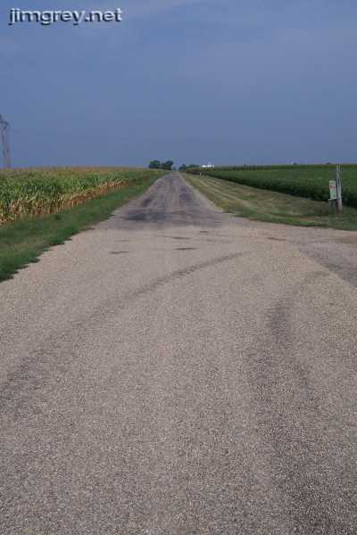
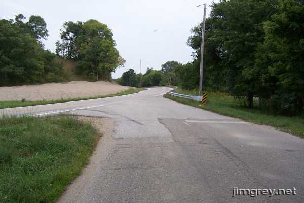
Here's the road somewhere in Indiana, before the road curves toward US 36. I passed through the north end of Dana so quickly I wasn't even sure it was a town.
And here's where the PP-OO rejoins the US 36 route, west of Montezuma and SR 63.
|
||||
|
||||
|
Created 26 August 2007. |
||||