Indiana/Illinois National Road Revisited |
||||
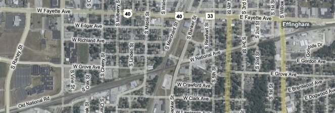
Effingham, ILWe had lingered over too many stops on our trip and time was getting away from us. Of all the places still on the itinerary, I decided two spots around Effingham would be the most interesting. So we climbed onto US 40 and sped west. The National Road had closely paralleled a railroad track since entering Martinsville about 40 miles ago. So even though US 40 veers north of the railroad track as it enters Effingham, it isn't surprising that the map showed several segments of road labeled National Ave. right next to that track as it passed through town.
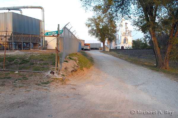
When I last visited Effingham, I was surprised that the National Road signs had me veer right at Jefferson Ave., which runs even farther north of the tracks than US 40 does. There wasn't enough time that day to explore both alignments, so I arbitrarily chose the Jefferson Ave. route. I wanted to explore the National Ave. segments today. We followed US 40 to 4th St. and drove south to the railroad tracks. Although the map shows National Ave. being continuous across 4th St., it is closed to the east and appears to see only industrial use. The road is heavily patched asphalt partially covered in gravel. It looks like little more than an alley, as this eastbound photo shows. The National Ave. sign laid on the top of the barbed wire seemed to fit the afterthought this segment had become.
Time (and the semi blocking the road ahead) prevented us from exploring farther east. This eastbound photo shows the closed segment from 4th St.
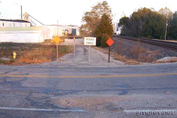
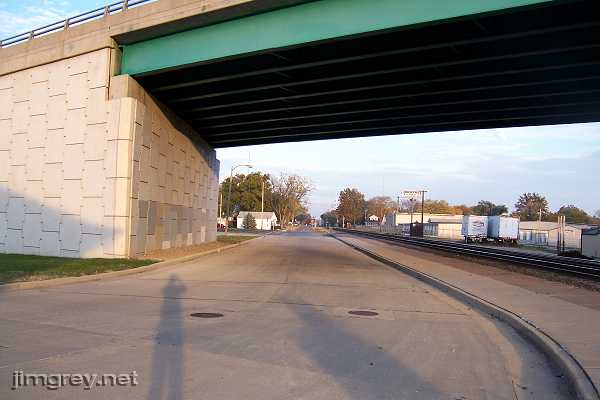
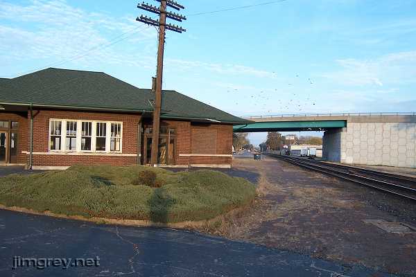
West of 4th St., the road remained narrow and curbless until the Banker St. overpass, when it grew to twice its width and gained curbs, as this eastbound photo shows. The road curved away from the railroad here to access a mostly vacant Amtrak station. The National Road's original alignment surely kept going straight.
The path was bricked between the train station and the tracks, but these bricks appeared to be laid for the Amtrak station and not for the National Road. This eastbound photo is taken from Market St., and the Amtrak tracks are behind me.
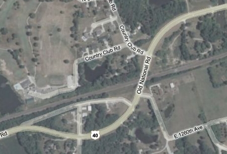
The map showed a couple potential segments of the National Road just west of here, but from where I stood I couldn't see any evidence of road ahead. I could see that we would soon start to lose our light, so we drove on. Just west of Effingham, the National Road once curved sharply left and then right to cross the railroad track and then run along its south side. Long ago, the road had been rebuilt with a wider curve to allow traffic to cross the track without losing speed, as the map shows.
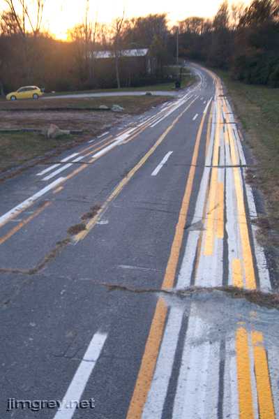
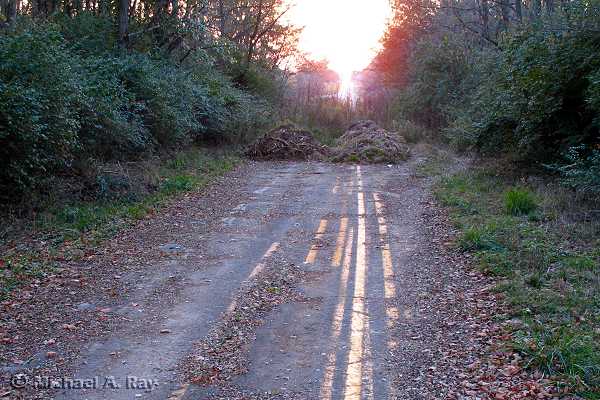
Part of the original alignment remains – and appears to be used by the Illinois Department of Transportation to train the guys who paint lines on the road. It was just as funny to see this time as last. This time I found an access road to this alignment so we could take these photos. This westbound photo is from near where the segment ends at US 40.
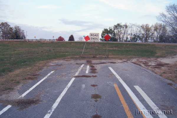
This eastbound photo shows the segment's eastern end where US 40 crosses it. Michael snooped as much as he could on the other side of US 40 looking for evidence of the road, but found none. The old road shows all the signs here of being buried under the new road.
Our light was fading fast, so we took our last photos. Michael wanted to get a photo of the sun setting over the road, but the light was challenging and none of them turned out just right. I like this one the best because it not only shows the mounds of dirt and branches that mark the western end of this alignment, but also because it shows US 40 almost obscured by the setting sun, rising in line with the National Road.
|
||||
|
||||
|
Created 12 February 2008. |
||||