The National Road in Illinois |
||||
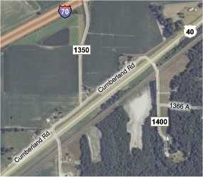
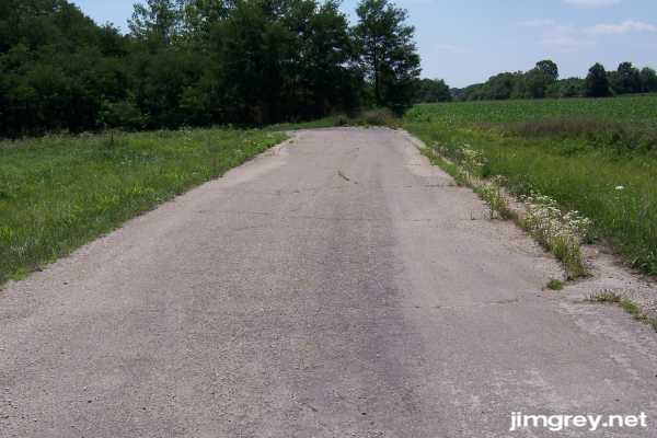
Illinois countryPast Greenup, we drove through several miles of country, passing through a few tiny towns. It began a mile or so past the bridge with a short segment of the National Road. We turned left on 1375E (marked as 1400E on the map) to access it.
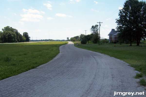
The tar-and-gravel segment swayed a bit along its path. Utility poles, which we had not seen along the Greenup segment, reappeared just beyond that segment's end and hugged the road here.
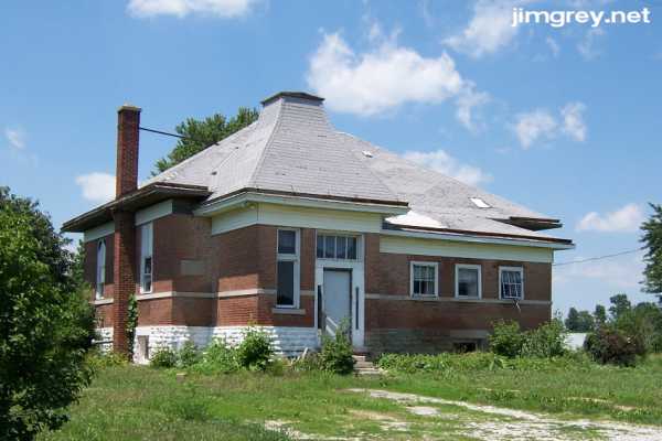
A big, neglected building, perhaps an old school, sat on this segment. Perhaps this segment exists just to provide access to the house; perhaps this was cheaper than building a driveway to it. The house has a cement plaque on it, but the letters were too faint to make out. It looked like someone might live here, believe it or not, and so we didn't go closer to read the plaque.
Beyond 1350E, the segment narrowed, swayed some more, and then disappeared.
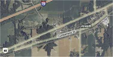
US 40 followed the railroad here. It swings north just east of Jewett, but old US 40 and the National Road stay right with the railroad and cut through this tiny town.
We took the turnoff to Cumberland Street as it headed into Jewett. There was no sign of the old road behind us here.
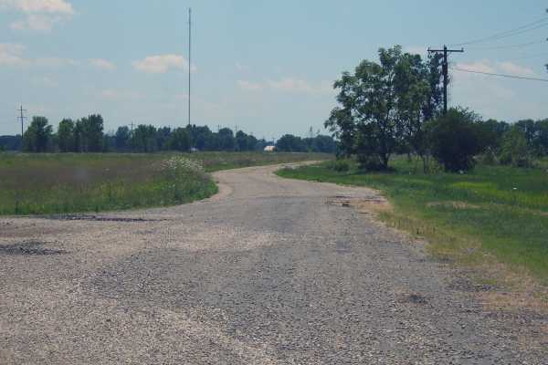
There wasn't much to see in Jewett, and we quickly passed through it. We could see a crack along both sides of the asphalt where a cement widening strip would have been added years before. Where the road turned to rejoin US 40, we were surprised to see a sign pointing the way. The National Road dead-ended 20 feet later, with no sign of the old road beyond the end. Out here, it appears that the old road exists only if there is a good reason.
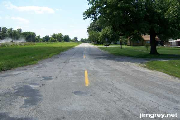
The map showed a short segment of the National Road that we could access at 950E. Here's that segment eastbound.
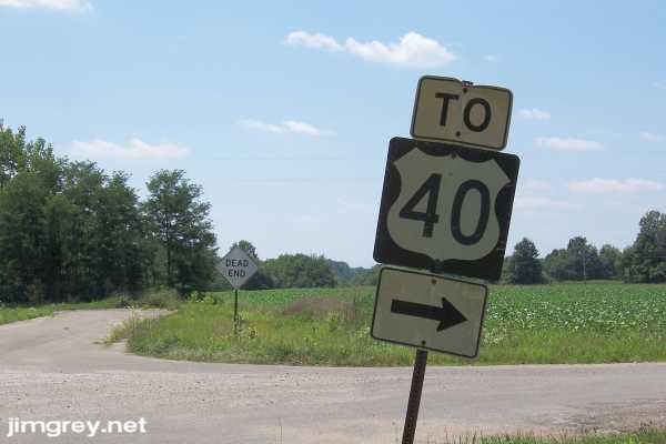
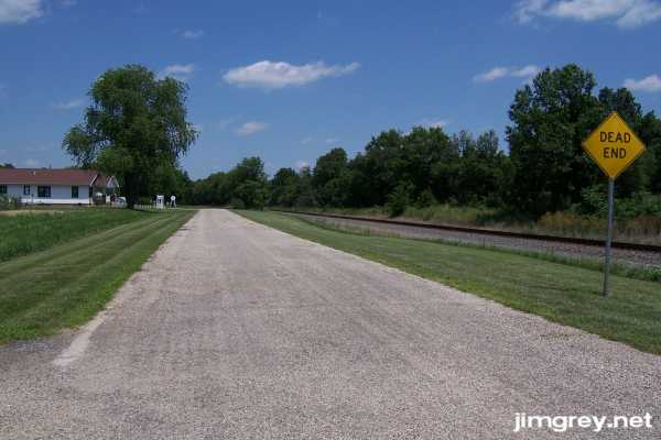
We drove west along this stretch to 900E and could see that the road ended ahead.
After we returned to US 40 and we drove on, we saw a few very short strips of what was probably the National Road to our north. These segments were just long enough to provide access to homes and farms. We soon came upon tiny Montrose, which US 40 does not bypass. We passed a biker bar. Men were climbing on their hogs and a horde of young women, dressed in bikinis or slightly less, were scurrying around. It looked like something straight out of a B movie. I would have taken photos, but this is a family Web site. There wasn't much to see otherwise, so we drove on. We also didn't stop in Teutopolis, a few miles away. US 40 did not bypass this town, either. Teutopolis was three or four times the size of Jewett or Montrose. There wasn't much here, but the town did have a downtown with a really nice church that had a tall steeple. Unfortunately the day was getting away from us. I wanted to reach Vandalia by dinnertime, so we cruised on by. |
||||
|
||||
|
Created 22 July 2007. |
||||